


Nivolet

cousam
User
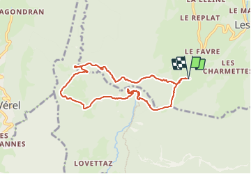

Length
8.5 km

Max alt
1525 m

Uphill gradient
785 m
Km-Effort
19 km

Min alt
933 m

Downhill gradient
788 m
Boucle
Yes
Creation date :
2023-06-08 08:19:07.427
Updated on :
2023-06-09 06:57:19.698
5h29
Difficulty : Medium

FREE GPS app for hiking
 SityTrail
IGN / Geographical institutes
SityTrail Plus
The world is yours!
About
Trail Walking of 8.5 km to be discovered at Auvergne-Rhône-Alpes, Savoy, Les Déserts. This trail is proposed by cousam.
Description
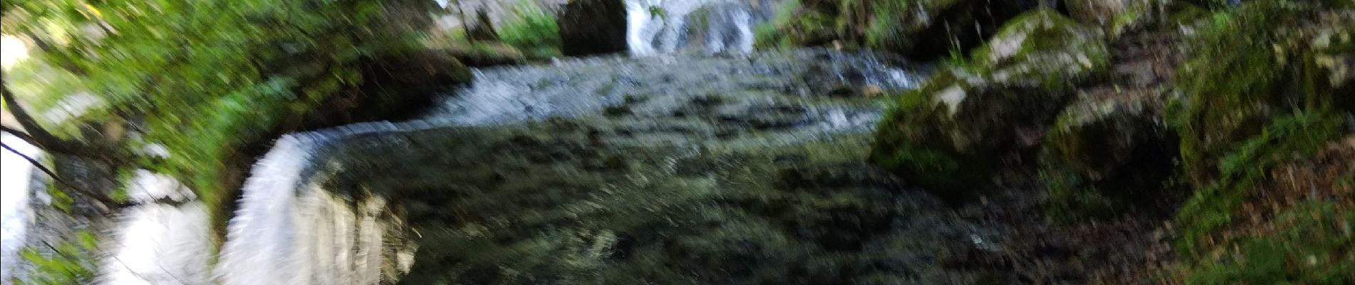
Pour le passage derrière la cascade (glissant) prévoir longe , ensuite aller jusqu'à la grotte Carret en AR
Photos


Positioning
Country:
France
Region :
Auvergne-Rhône-Alpes
Department/Province :
Savoy
Municipality :
Les Déserts
Location:
Unknown
Start:(Dec)
Start:(UTM)
733396 ; 5055246 (31T) N.
Comments